Skip to content
Home
About Us
Solutions
Media
Blog
LinkedIn
Career
Home
About Us
Solutions
Media
Blog
LinkedIn
Career
EN
EN
DE
Linkedin
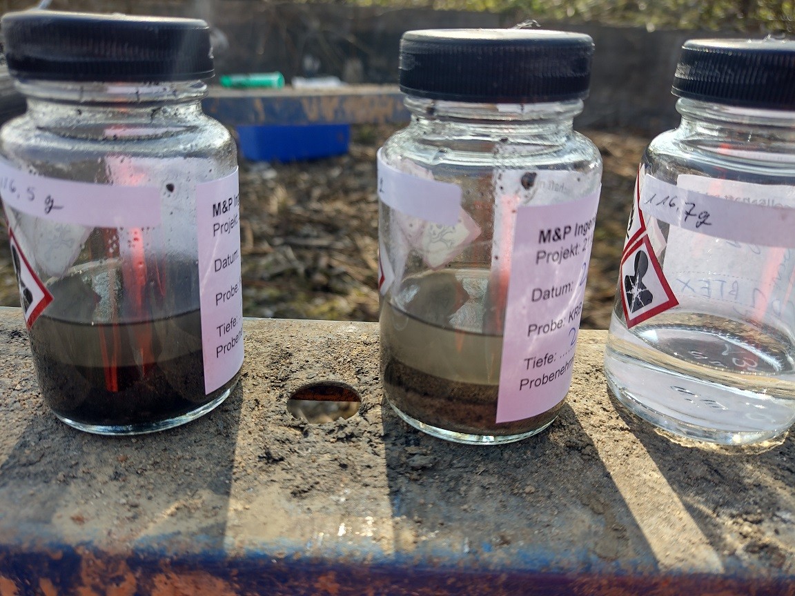
Geostatistische Werkzeuge in der Altlastenerkundung
September 12, 2022
Share:
More Posts
What is Carbon Footprint Analysis and Why It Matters in 2025
July 7, 2025
Compliance Services: Building Ethical and Resilient Businesses
June 27, 2025
Sustainability Consulting Achieves More Than Just Compliance
May 21, 2025
Sustainable Urban Development: Building Modern Cities
May 20, 2025
What Is a Decarbonization Strategy – and How to Build One
May 14, 2025
5 beste Fallstudien für nachhaltige Architektur – Innovative und grüne Bauprojekte
April 10, 2025
Climate Adaptation: Building Resilient Infrastructure
February 13, 2025
Prev
Previous
Wozu brauchen Unternehmen CO2-Footprints und wie ermitteln sie ihren?
Next
Sanierung chemische Reinigung Schaedla im Auftrag der Stadt Heidelberg
Next